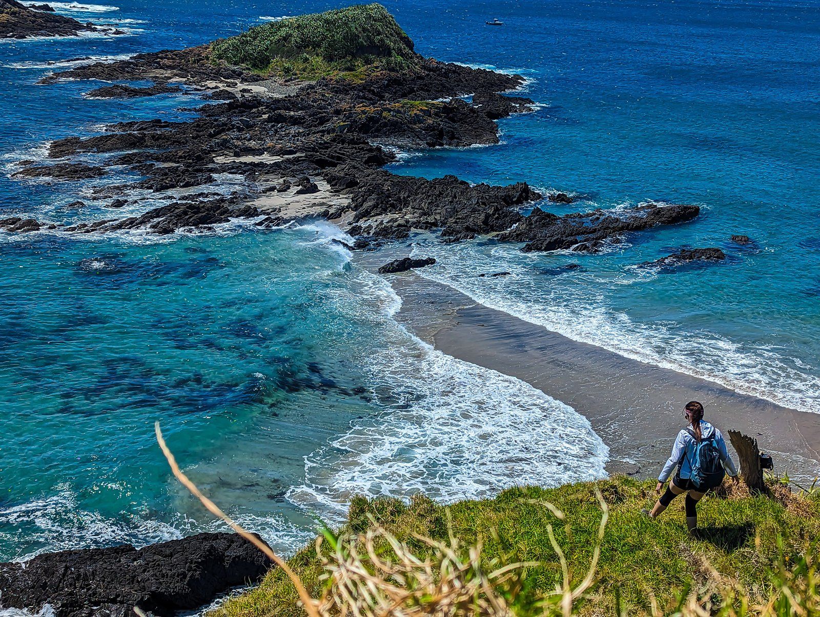
Bream Head, also known as Te Whara, in Northland, is a large volcanic remnant of the 20 million-year-old Taurikura volcanic complex that formed the peninsula on the west side of Whangārei Harbour. The Head is on the southwest tip of the peninsula. To the north is Ocean Beach (one of several so-named around NZ), and to the east are Home Point and Busby Head. Bream Bay is to the south, and at the southern tip of the bay is Paepae-o-Tu/Bream Tail to complete the fish allusion.
The head is part of Bream Bay Reserve, which covers several ancient volcanic peak cores between Bream Head and Home Point. These include Te Whara promontory to the west, the high point at 476 metres, and Mount Lion to the east at 395 metres.
There are several tracks through the Reserve. The main one is Te Whara Track, which runs East to West along the ridge, including the high points with superb views. This track dates back 700 years and linked several pā around the area. The east end is on Urquharts Bay Road, and the west is on Ranui Road at Ocean Beach. It takes five to six hours one way and is a serious hike, so it is best done with a car at each end.
Peach Cove Track is a shorter option that starts on Ocean Beach Road. It climbs to only 240 metres and crosses over the ridge and Te Whara Track before going down to Peach Cove. There is a DOC hut above the cove (book in advance), and it can be done as a half-day return walk. The easiest option is the Loop Track at the east end. It connects Urquharts Bay to Smugglers Bay, then Busby Head and Home Point.
In addition to the fabulous walks, the Reserve is important for native fauna and flora. It is a significant Northland coastal forest with an excellent range of native birds, including kiwi, robin/toutouwai, whitehead/popokatea and parakeets/kākāriki. There is also an endangered flax snail, pūpūharakeke. But the star has to be the Whirinaki skink, only found in a small area at the top of Te Whara!
Thanks to Johnson and Michelle (@jomi_travelkaki) for the photos.


